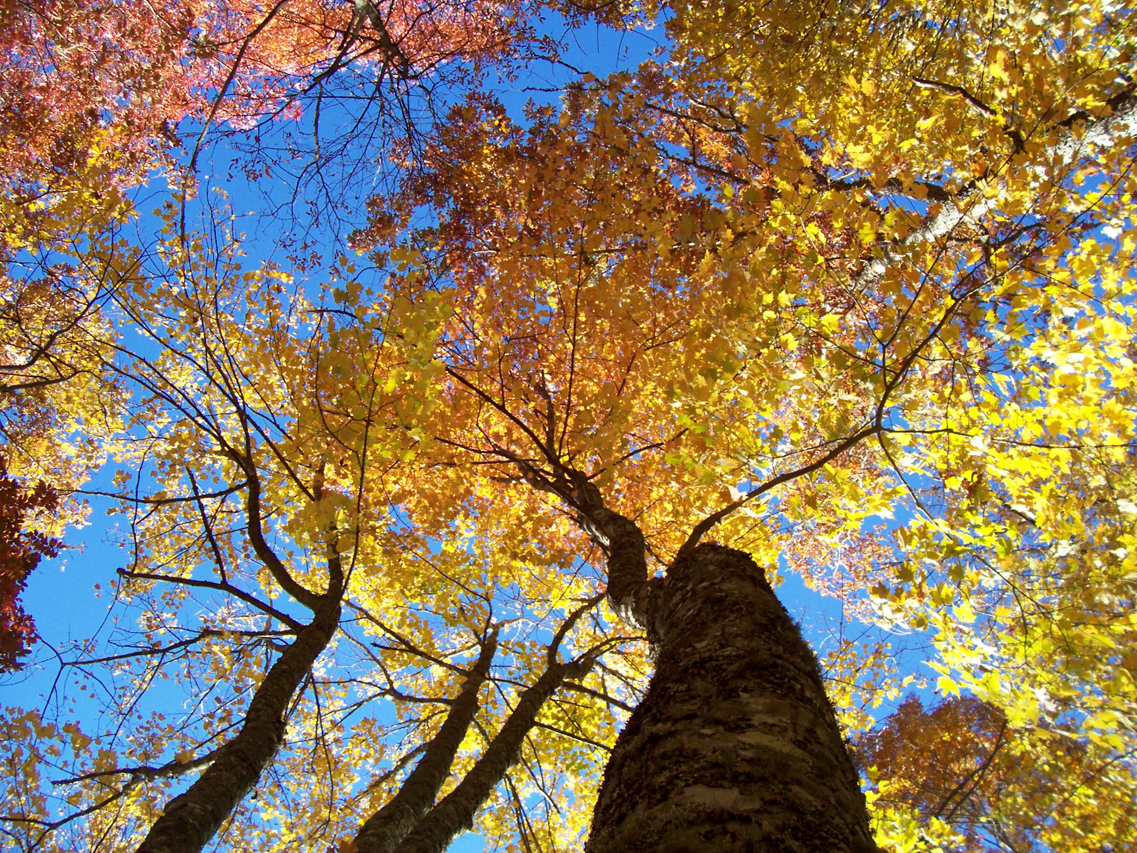
You feel the gorge before you see it. You are on US 19/74 west of Bryson City, the road is following a river you keep catching in flashes through the trees, and then the walls close in on both sides and the temperature drops. Not a little. You will reach over and turn the air conditioning down. Somewhere in that first mile the light goes green, filtered through hemlock and rhododendron stacked six stories up the slope, and the river starts throwing white where it hits rock.
The Cherokee name is usually translated as land of the noonday sun, because the gorge is narrow enough and deep enough that direct sunlight only reaches the water in the middle of the day. Stand on the bank at nine in the morning in July and you are in shade, in a cold draft coming off a river that runs about 50 degrees year round, watching fog lift off the surface because the water is that much colder than the air. It is one of the strangest and best sensations in the southern mountains.
This is the eight-mile stretch that introduced most of the South to whitewater. It is family water, genuinely: Class II the whole way with one honest Class III at the very end, a Forest Service minimum of seven years old or 60 pounds, and a river you can raft, ride a train alongside, or watch from a picnic table with a sandwich. It is also a real mountain destination with mountain biking, a lake, a dam, and the Appalachian Trail running straight through the middle of it.
This guide covers when to come, what the rafting trip is actually like, what to do with the rest of the days, and the two or three things that catch first-timers out. If you are building a longer Smokies loop, our Bryson City base camp guide and our Great Smoky Mountains Railroad breakdown pick up where this leaves off.
Trip facts
Where The Nantahala Gorge, Nantahala National Forest, western North Carolina. Roughly 13 miles southwest of Bryson City along US 19/74, in Swain and Macon counties. Best months June through August for the warmest air over the coldest water. Late September through mid-October for fall color and thinner crowds. Commercial rafting generally runs March through the end of October. Getting there You drive. About three and a half hours from Atlanta, roughly an hour and a half from Asheville, and a scenic haul from Knoxville over US 441 through Great Smoky Mountains National Park. Asheville Regional (AVL) is the nearest airport of any size. Good for Families with kids seven and up, first-time rafters, mountain bikers, train people, anyone who wants a cool-weather escape in August. Skip if You need cell service, nightlife, or water you can swim in comfortably. This is a cold, quiet, early-to-bed kind of place.
Understanding the Nantahala Gorge
The thing to understand about this river is that it is not really a natural river anymore, and that is exactly why it works.
The Nantahala Dam was completed in 1942, built by Nantahala Power and Light to feed the war effort. It is an earthen dam about 250 feet tall, and it holds back Nantahala Lake at roughly 3,000 feet of elevation. Water is drawn off the bottom of that lake, run through a pipeline down to a powerhouse, and returned to the riverbed at the top of the gorge. Duke Energy owns the system now.
Three consequences follow, and all three shape your trip.
The water is cold. It comes out of the bottom of a deep mountain lake and arrives in the river around 50 degrees. In August, when the air over Bryson City is in the upper 80s, the river is still 50 degrees. That is why the gorge feels air conditioned and why fog sits on the water on summer mornings. It is also why you will be genuinely cold if you get soaked at nine in the morning in a cotton t-shirt.
The flow is predictable. Generation flow through the gorge runs at about 550 cubic feet per second when the powerhouse is turning, which is why commercial trips can run daily from March through October rather than waiting on rain. When generation is off at night, the riverbed drops.
The scenery held up. Because the gorge is inside Nantahala National Forest and hemmed in by steep walls, there was never room to build much. You are looking at temperate rainforest: hemlock, rhododendron thickets, moss on everything, and something in bloom most of the season.
One more piece of local context worth stating plainly, because a lot of people still ask. Hurricane Helene devastated parts of western North Carolina in September 2024. Swain County, Bryson City, and the Nantahala Gorge were spared significant impact and have been fully operational since. Outfitters, the railroad, and downtown Bryson City are all open and running normal seasons. If your route includes the Blue Ridge Parkway, that is the piece to check, since Parkway recovery projects have continued into 2026.
When to go
The gorge has a genuine off-season, so the question is less about weather than about whether the river is running commercially when you arrive.
| Season | What it feels like | Crowds | Best for |
|---|---|---|---|
| March to April | Cold air over cold water, high green, waterfalls running | Light | Paddlers, hikers, thru-hiker season on the Appalachian Trail |
| May to early June | Warming air, gorge still cool, everything in bloom | Building | The best balance of weather and elbow room |
| Mid-June to August | Hot everywhere else, 50 degrees on the river, morning fog | Peak, weekends busiest | Classic family rafting week. Book ahead |
| Late September to October | Crisp mornings, hardwood color on the ridges | Moderate, color weekends spike | Photography, the train, the last raft trips of the year |
| November to February | Cold, quiet, bare ridgelines, most outfitters closed | Very light | Solitude, driving the gorge, Bryson City off-season rates |
The rafting trip, start to finish
The commercial run is the Lower Nantahala, eight miles from the Wayah Road put-in down to the Nantahala Outdoor Center. More than twenty named rapids, almost all of them Class II, with Nantahala Falls at the very end as the only Class III on the run.
Guided or on your own. Guided means a trained guide in every raft calling paddle commands, which is the right call for a first trip and for anyone with young kids. Rentals let experienced groups run it at their own pace. Private boaters need a Forest Service Nantahala River permit, available through the outfitters at the gorge.
Who can go. The Forest Service requires commercial rafters to be at least seven years old or at least 60 pounds. That is or, not and. Outfitters enforce it, and they will also make judgment calls based on the day’s water.
How long it takes. Plan on about three hours door to door, with roughly two of those on the water. The rest is check-in, gear, the safety talk, and the bus ride up to the put-in. Get there half an hour before your reservation.
What happens. Patton’s Run comes at you almost immediately, about a tenth of a mile below the put-in, a hard right bend that wakes everybody up. From there the river is a long, bouncy, forgiving conversation: wave trains, small ledges, eddies to duck into, quiet stretches where the guide points out where the fog sits and tells you about the gorge. Then, in the last hundred yards, right in front of the crowd on the bridge and the deck at the outdoor center, Nantahala Falls. It is a real drop with a real hole, everybody gets soaked, and somebody in your boat will fall in. That is the photograph you buy.
The upper river. Above the commercial put-in, the Upper Nantahala and the Cascades hold continuous Class III+ and Class V water for experienced paddlers. Those run on scheduled Duke Energy recreation releases, negotiated each year with American Whitewater, and those flows are additive to the roughly 550 cfs of generation flow already in the gorge. Parking up there is genuinely tight, so use a shuttle. Check the current-year release calendar before planning around it.
Dress for 50 degree water, not 90 degree air
The one thing first-timers get wrong
Every summer, families show up in swimsuits and cotton t-shirts, get thoroughly drenched in the first ten minutes, and spend the next hour and a half shivering in the shade. The air temperature is irrelevant. You are going to be wet, in a shaded gorge, on 50 degree water.
Wear synthetic layers, not cotton. Bring a change of dry clothes and leave them in the car. Shoes that strap on: old sneakers, sport sandals with a heel strap, or water shoes. Flip flops are gone at the first rapid. Outfitters supply the paddle jacket, the life jacket, and the paddle, and many will rent a wetsuit or splash gear in the shoulder season. Take them up on it in March, April, and October.
Sunscreen still matters even in the shade, because you will be on open water for stretches. And put your phone in the car. There is effectively no cell service in the gorge, GPS navigation gets unreliable once you drop between the walls, and a phone that goes in the river is not coming back. Use the outfitter’s written directions to find them, not your maps app.
What else is in the gorge
The Nantahala Outdoor Center is the anchor. It sits where the river meets the highway, and it functions as the town center for a place that has no town: outfitter, store, restaurants on the water, lodging, zip lines, and a deck full of people watching rafts come through the Falls. You can spend a whole afternoon there without getting in a boat.
The Appalachian Trail crosses the river right there, on the footbridge at the outdoor center. In April and May you will see thru-hikers walking through with everything they own, eating an enormous lunch, and getting back on the trail. Even if you do not hike, walk out on the bridge. If you do hike, the climb out of the gorge in either direction is a serious grade and a beautiful one.
The Great Smoky Mountains Railroad runs a Nantahala Gorge excursion from downtown Bryson City that follows the river into the gorge with a layover at the outdoor center. This is the answer for anyone in your group who is not getting in a raft, and it is a great trip with small kids and with grandparents. Check the current season’s schedule and durations before you build a day around it.
Tsali Recreation Area north of the gorge on the shore of Fontana Lake is one of the best-known mountain biking areas in the Southeast: several long loops through rolling forest with lake views. Loop access rotates between bikes and horses on a posted schedule, so confirm which loops are open to bikes on the day you go before you unload.
Fontana Lake and Fontana Dam sit just north. The dam is the tallest in the eastern United States, the overlook is worth the detour, and the lake is deep, quiet, and ringed by national forest and national park land with very little development on it.
Deep Creek, on the Bryson City side, is the low-key family favorite inside Great Smoky Mountains National Park: three waterfalls on an easy loop and a tradition of tubing the creek in summer. Tube rentals sit right outside the park entrance.
Where to stay and what to eat
Bryson City is the practical base. Real downtown, walkable, restaurants, breweries, the railroad depot, and a twenty minute drive to the put-in. Stay here if you want anything to do after dark.
In the gorge itself you have cabins, campgrounds, and outfitter lodging strung along the highway and up the side roads. Waking up next to the river is the best version of this trip and the trade is that dinner options are limited and cell service is not a thing.
Cherokee to the east puts you close to the national park entrance and Oconaluftee. Robbinsville and the Fontana area to the west are quieter still and closer to the Cheoah and the Tail of the Dragon.
Eating is straightforward. There are restaurants on the water at the outdoor center, a small cluster of gorge-side spots along the highway, and a proper set of options in Bryson City. Pack a cooler regardless, because the gorge has picnic areas all along the river and lunch at a table twenty feet from the water beats anything you will pay for.
A sample three-day plan
- Day 1. Drive in, check into Bryson City, walk the downtown, early dinner. If you have daylight left, drive the gorge to scout the put-in and the Falls so tomorrow is not a scramble.
- Day 2. Morning raft trip. Lunch at the outdoor center or a picnic table. Afternoon at the Falls overlook watching other people run it, then the footbridge and a short stretch of the Appalachian Trail.
- Day 3. Split the group. Bikers to Tsali, everyone else on the railroad excursion or up to Deep Creek for the waterfall loop and tubing. Meet back for dinner and drive out the next morning by way of Fontana Dam.
How to plan the trip
If it is your family’s first whitewater, this is the river. The consequence is low, the guides run this water hundreds of times a season, and a seven year old can do it. If you already paddle, come on a scheduled release and run the upper. If you are traveling with people who will not get in a boat, this still works, because the train, the lake, the trail, and the gorge drive stand on their own.
Book the raft trip ahead in July and August, especially for a Saturday. Come in a shoulder month if you can, because a 65 degree morning in the gorge with fog on the water and nobody else at the picnic area is a better memory than a crowded Saturday in peak season.
And pack the layers. The gorge is the coldest, greenest, quietest hour you can spend in the southern mountains, but only if you are dressed to enjoy it.
Big Terrapin. Slow down, look closer, go anyway.